Home Market & Sectors Mining & Minerals
URANIUM EXPLORATION
Skeleton Coast Is Targeting 42 Potential Uranium Zones in Erongo
The company has identified 42 uranium targets across five exploration licences covering 610 km², with 13 marked as high priority for further investigation.
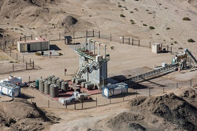
Skeleton Coast Uranium has identified 42 potential uranium exploration targets across five licences covering approximately 610 km² in the Erongo Region, following the reinterpretation of historical exploration data, according to its November overview report.
The company's five licences are located near the Rössing, Husab and Langer Heinrich uranium mines, as well as Bannerman Energy's Etango and Forsys Metals' Norasa uranium projects.
Skeleton Coast has identified the targets after reprocessing and reinterpreting historical airborne radiometric and magnetic survey data across its five licences.
The work produced 42 potential uranium exploration targets, with 13 ranked as high priority for follow-up investigations, of these targets are spread across 27 identified uranium anomaly areas covering approximately 8,700 hectares, with Exploration Licence (EPL) 8617 contains the largest concentration, with 30 targets, including 10 of the 13 high-priority targets.
The company has identified these targets along a palaeovalley in the northern part of the licence, where the geological setting is associated with potential secondary calcrete-hosted uranium mineralisation, according to the report.
The company plans to begin field investigations to check the identified targets and establish whether uranium mineralisation is present.
Its proposed work includes ground surveys, geochemical sampling, radon surveys and detailed geophysical investigations.
Skeleton Coast is also planning a first-pass drilling programme of 2,500 metres on each of EPL 8617, EPL 8208 and EPL 9727.
The company indicates that exploration crews are expected to begin mobilising to the sites in the fourth quarter of 2026.
However, the company has not yet confirmed uranium mineralisation on its licences.
The identified targets are based on airborne survey anomalies and require field verification before their potential can be established.